Picacho Peak
So, Randy and I had not been camping since Aug 2009 and we thought it was about time. It was also Elizabeth's college spring break. Therefore, Randy took a look at the AZ map and found a state park halfway between Phoenix and Tucson. No reservations required this time of year. On Thursday, we packed up the jeep and the 3 of us and Phoebe the dog, took off for a couple of nights camping!
About 1130 we stopped at the Casa Grande National Monument. Randy and I had been there before but Elizabeth hadn't. It was ok to bring the dog in too! We walked 
around the site, reading the plaques telling us about the life and times of the natives (Hohokum) who lived there and about the building techniques. The largest remaining building is covered by a huge cover to help keep the weather from 
destroying it any further. After a walk around the site, we adjourned to the picnic area for some sandwiches we brought with us. Then we walked to the raised observation area for a look at 3 other sites on the park property. One is considered a ball field and 2 others are apparently other housing areas, just not yet excavated.
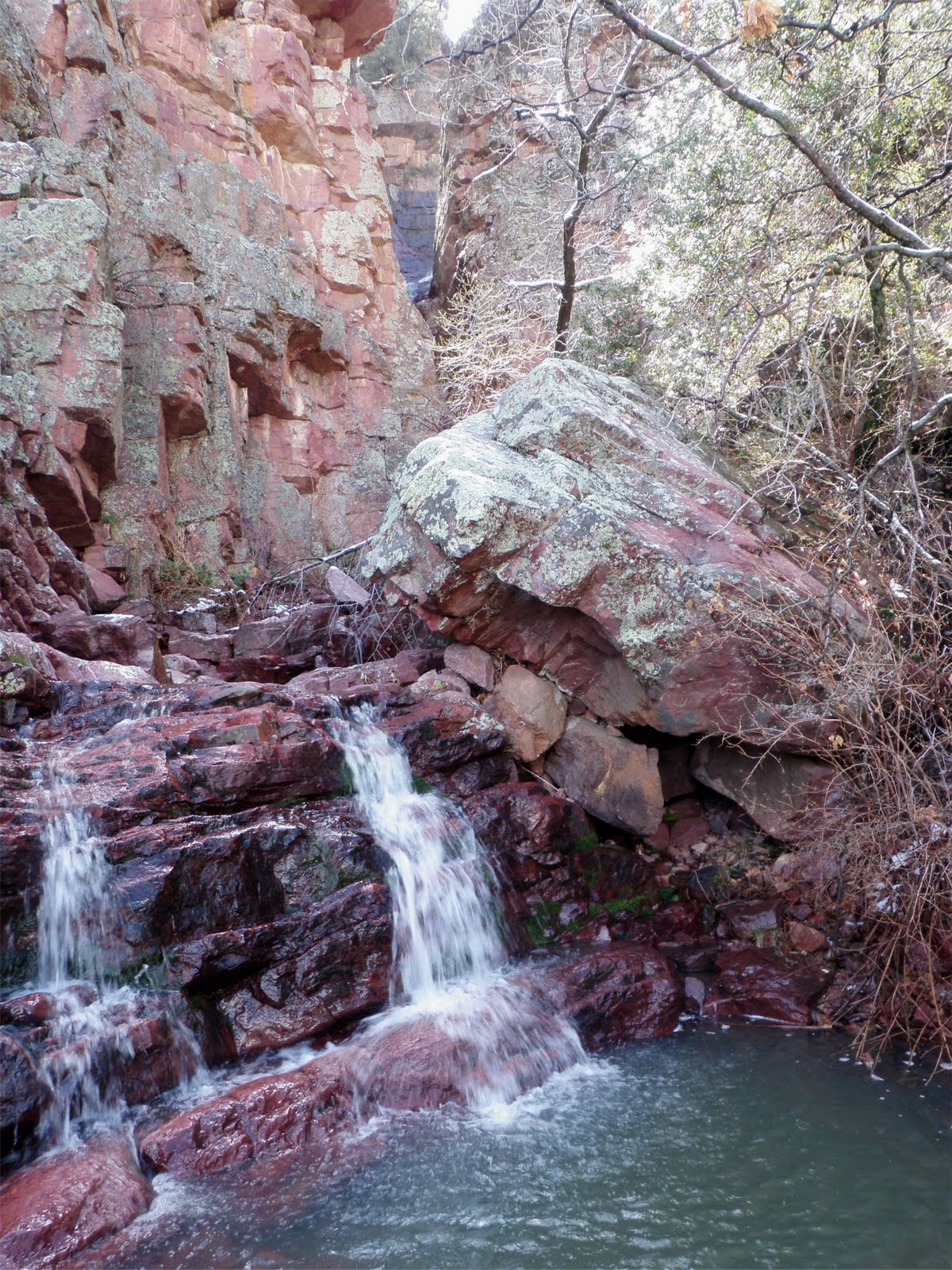
After we finished there, we got back in the car and within the hour were at the Picacho State Park. Picacho is pronounced Pee-CA-Choo, emphasis on the second syllable. We found ourselves a tenting spot large enough to hold both tents and which also had a ramada (southwest term for a shelter or canopy over the picnic 
table). We decided to set up camp, then just hang out. The mountain we were going to climb the next day loomed over the south side of the park and our campsite. No getting around it, it looked like a hard climb.
So after dinner, and the sun went down, we got a campfire going. We were just sitting around, chit chatting, when we heard the gravel crunching behind us. Turns out 2 long distance bicyclists, rode up behind us and asked if they could share the 
fire with us! Now having hung out with long distance hikers, we were a little surprised by the request but not really disturbed. We said heck yeah, come on in and have a sit.
We shared some wine and the camp fire and stories about where we've all been in the world. It was a nice chat. At bedtime, we retired to our tents and they bedded down in front of the fire.
In the morning, Randy and I were up early to meet our old AF buddy Dennis. He drove up from Tucson to hike a little way with us. Turns out he had hiked this mountain in his youth with his church youth group, long before there was a state park here or even a designated trail up to the peak. The bicyclists got up, had a little 
breakfast and packed up to get back on the road. About 8am, they rode off and we got in the car to head to the trailhead.
We parked at the trailhead, Dennis too as he had an 11am appointment back in Tucson so he staged his car with ours for easy access. I was carrying my 2 liter water bladder and 2 one liter water bottles. Randy and Elizabeth were each carrying about 1.5 liters of water. Elizabeth had room in her pack to carry Phoebe up the hard parts of the trail. Off we went.
The hike immediately starts uphill. The trail maintainers had put in steps but made them about twice the height of normal steps, making it kind of hard on stubby legged little me. We gained altitude quickly and soon we were high above the desert 
floor. By 9am, Dennis had to say good-bye, he had to hike back to the cars and get on his way. Sorry he couldn't do the whole trip with us.
After the good-bye's we trudged on up the mountain. The trail did switch back and forth but even so, it was a climb. We took a short rest now and then, one stop being in an alcove of sorts where birds, swifts or some other mud dauber mud nest 
makers, had nests high up on the underside of the cliff alcove. They swooped around over us like they were unhappy with our presence.
Finally, we got to the saddle. The part of the mountain where the trail reaches a spot then curves around the other side of the mountain, going down for a bit, then up to the secondary and main peaks. Quite a few people were there, resting from coming up from the park or from coming back from the peak. After a short rest, we 
continued, following the trail down a very steep rock face. It was steep enough that the maintainers had put in the steel cable rope and I sure did use it getting down that slope. A few hundered feet down, then we started back up the mountain. 
Again, all uphill, Elizabeth and I stopped several times for quick breathers and some water. Eventually, we got to the difficult portions, going straight up rock faces with random places for footholds and death grips on steel cable. Of course,
it was easy for Phoebe, she just rode in Elizabeth's pack. She seemed quite content to let her mistress do all the work. 
Now I have a bit of a fear of falling so going up or across these spots was a bit traumatic for me. I will admit to a lot of hyperventilation. However, I watched other groups go up or down these spots and saw they didn't seem to have any trouble with it. So I told myself to stop being such a drama queen and get on with it.
Elizabeth had gotten quite a bit ahead of us while I was struggling with my fear and 
those cliff face traverses. She went up the secondary peak to explore a little while we caught up. Eventually, I got past the cables and we started up the main peak. It wasn't that far, it was just pretty steep and by the time I got to the 
top, I was happy but really tired. I declared I wasn't moving from this spot. Randy and Elizabeth kindly offered to forward my mail. 
While resting, we noticed a lot of ground squirrels at the top of the peak. Phoebe was eager to run the little critters off. At one point, it looked like she was going to launch herself right off the top of the peak. At that time, Elizabeth put her leash on her. It just wouldn't do to have hikers below us see a chihuahua flying past.
We had a snack and a lot of water and a good look around at the views. Lots of agriculture going on in the surrounding landscape. Also, a lot more smog than I had 
expected. It's too bad really because we should have been able to see a lot farther than we did. After about 20 minutes, we decided to go on back down. Of course every group we passed had to ooh and ahh over Phoebe. She was quite a good little conversation starter.
As I expected, the hike down was more harrowing than the hike up, especially as we were already tired. I was still hyperventilating but at each point I told myself 
that I did not want to be on the 6 o'clock news as "another hiker rescued" story so I bucked up and did what I had to do to get down. We often had to move over for faster hikers to go by. Not that I minded, it gave me a minute to get my breath but it was irritating to see 20 something young men go dancing by, leaping from rock to rock carrying nothing but a half liter bottle of water. Arrrgghh.
So, we finally get to the steep rock face that leads up to the saddle that will lead to the final down trail. I couldn't believe we had to climb this mountain 3 times to do one hike up to the peak and back. I had to stop and rest several times, but finally I got to the saddle and practically fell onto the bench so thoughtfully provided by the park service. We still needed to get the rest of the way down but thankfully, there were no more ups. 
We pushed on after a few minutes and both Elizabeth and I could feel our legs getting really tired. We were glad when we finally got to the trailhead and could sit in the car. Whew! We made it. We were ready to get back to the tent and head off to the really nice showers this campsite has.
Would I do this hike again? No. However, Randy said he had a great time, never a dull moment on this trail. True, but it's not for me. At one point, I mentioned to Randy that I would only recommend this hike to people I hate but that's not really so. I know quite a few hiking friends who would, like Randy, love the adventure of this hike. This hike was rated difficult. I don't know where that rating fits in the Easy, Moderate, Strenuous rating system but it must be above Strenuous.
So, if you're out Arizona way, think about this peak. 
posted by Connie Cockrell | 1:19 PM
|
1 comments
![]()
![]()